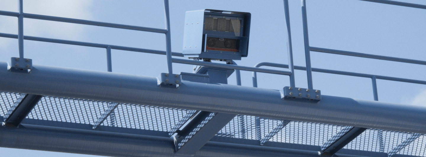
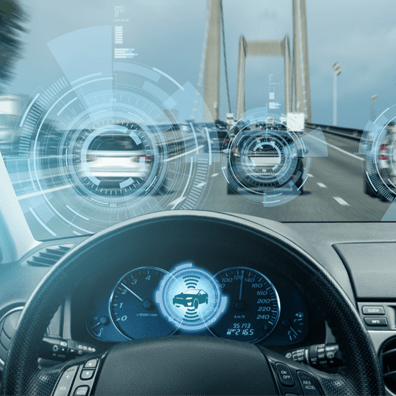
The system detects the position of a moving vehicle in the scene and compares it with fixed reference points to calculate its speed from each image frame. Its features vary from detection capability to measurement accuracy, range, and much more.
Speed Measurement: The primary function of the system is to measure vehicle speed with maximum accuracy. Readings can be displayed on a screen in real time or recorded for later analysis.
Range and Accuracy: Range and accuracy depend on the technology used. Radar-based systems offer a longer detection range but may be less precise, while Lidar-based systems deliver higher accuracy over a shorter range.
Directional and Multi-Lane Detection: Detecting the direction of travel helps monitor and manage traffic flow. Many systems can also monitor multiple lanes at the same time, helping authorities enforce speed limits on busy highways and roads.
Data Logging: Speed data recorded over time is logged and stored. It can be analysed to identify traffic patterns and trends, which supports better planning and policy-making.
System Integration: The system can be integrated with other traffic management and transportation systems. This gives a more complete picture of traffic conditions and helps optimise traffic flow.